
Early Season Snow and Inevitable Facets
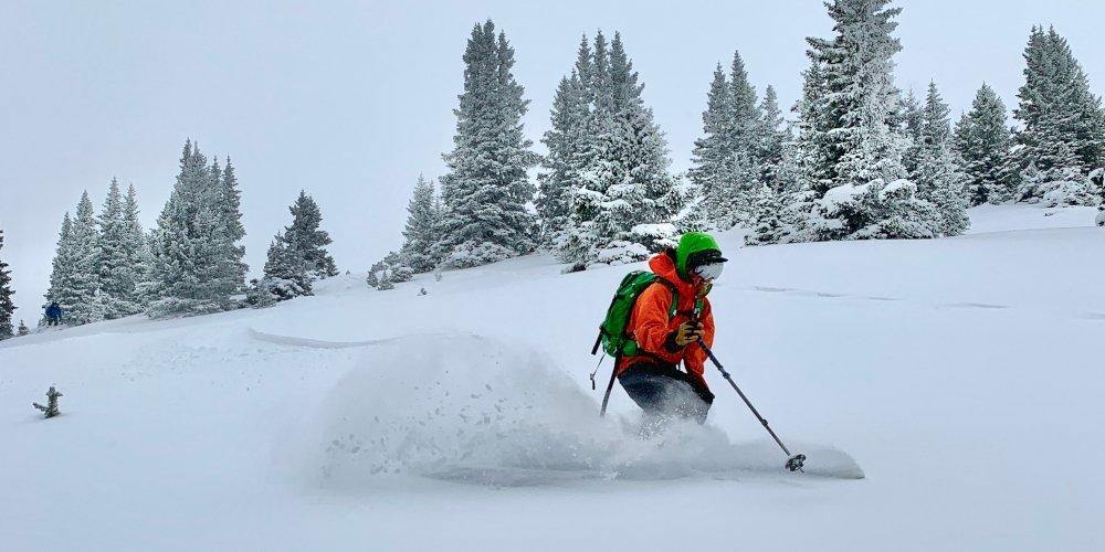
Early season snow should get you excited, but it should also keep you on your toes.
In Colorado, the first significant snowfall of the year typically arrives in late September or October and with it comes a huge wave of excitement across our mountain communities. This energy is accompanied by Instagram posts and core shots as powder deprived skiers seek the first soft turns of the new season. For those of us who know which slopes harbor friendly grass or where the wind favors, there are even safe ways to enjoy this shallow snow pack. While these storms bring much needed moisture and added beauty to our continental mountains, this snow sets the stage for a persistent weak layer that can plague our favorite backcountry zones for months to come. But why does this occur?
Safety Considerations for Skiing in the Backcountry
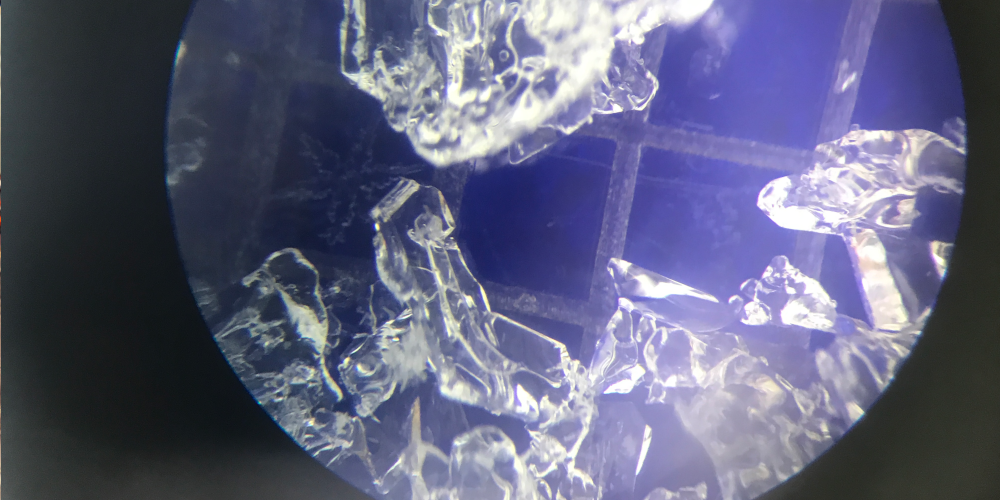
In addition to housing water as a solid (think snow crystals), the snow pack consists of porous spaces that contain water in its vapor form. Just as you are able to hold more beer cans in your hand on a hot summer day, warm air can hold more moisture than cold air. Therefore, when the temperature varies throughout the snowpack, so does the amount of water vapor. If that difference in temperature, or gradient, is greater than 1 degree Celsius per 10cm of snow, then we enter what is known as a faceting regime. Because nature avoids imbalance, water is moving from the warmer/higher concentrated areas to the cooler/less concentrated areas in the snowpack. As water vapor moves through the snowpack, crystals transform into facets. This weak snow has the consistency of sugar, and sets the stage for larger avalanches later in the season.


After the first snow of the year in Colorado, we usually go through a dry spell that leaves our shallow snowpack ripe for change. While air temperatures plummet at night, the ground remains a consistent zero degrees Celsius due to geothermal and stored solar energy. This leads to a huge difference in temperature between the ground and the air, and a very shallow amount of snow to distribute that temperature difference. The result is a snow pack that deteriorates into a layer of facets. Once this layer is buried by subsequent snowfalls, it is preserved, and can even deteriorate further to become a layer of depth hoar. This snow lurks silently at the base of our snowpack until activated by a larger snowfall event.
Required/Recommended Avalanche Safety Gear
So what does this mean for your skiing? When the first snowfall of the season hits our great state, pay attention to where it sticks around and where it melts out. Pay attention to how many cold clear nights that snow is subject to before buried by subsequent storms. Later in the season, dig to the bottom of the snowpack and see how that snow has transformed over the course of the season. Weak basal layers made up of facets or depth hoar are responsible for large slab avalanches which are the least predictable and most dangerous type of slide we can be exposed to. So when that first snow blankets the high country in a spectacular white, be sure to enjoy, but also pay attention.